2.5–4 Meter Waves Threaten the Indian Ocean
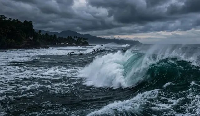
JAKARTA — Indonesia's Meteorology, Climatology, and Geophysics Agency (BMKG) warned of potentially high waves in several Indonesian waters on Thursday (10/15/2026). Waves of 2.5 to 4 meters may strike the Indian Ocean west of the Mentawai Islands to Lampung, as well as the Indian Ocean south of Banten to West Java.
"Fishermen and sea transport users should be alert to waves reaching 2.5 to 4 meters," said BMKG forecaster Henokhvita in the agency's weather broadcast covering Thursday (10/15/2026). According to BMKG, the high waves are linked to prevailing wind patterns and speeds across Indonesia.
11 Areas at Risk of Coastal Flooding
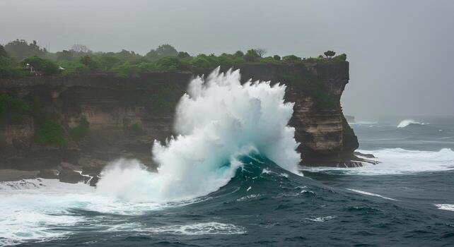
Beyond the high waves, BMKG warned of coastal flooding from tidal surges in 11 areas: North Sumatra, Riau Islands, Lampung, Jakarta, West Java, Central Java, Bali, West Nusa Tenggara, North Kalimantan, South Kalimantan, and Maluku.
Henokhvita urged coastal residents to adjust their activities to tidal conditions. Tidal flooding occurs when seawater pushes inland at high tide, disrupting residents' activities, especially in coastal settlements and fishpond areas.
Advisory for Fishermen and Ship Operators
BMKG urged fishermen and sea transport users to check weather developments before sailing, and to increase caution while considering sea and wave conditions before any voyage.
The agency also sets risk thresholds for different vessel types. Fishing boats are at risk when wind speeds exceed 15 knots and waves rise above 1.25 meters, while barges face danger above 16 knots and 1.5-meter waves. Ferries are at risk when winds exceed 21 knots with waves above 2.5 meters, and cargo and cruise ships when winds exceed 27 knots with waves above 4 meters.
Wind Patterns Drive the High Waves
The high waves are linked to wind patterns. North of the equator, winds generally blow from the southeast to the southwest at 6–20 knots, while south of the equator they blow from east to southeast at 8–26 knots. The strongest winds were observed over the Indian Ocean west of the Mentawai Islands to Lampung, the Indian Ocean south of Banten to West Java, the Java Sea, the southern Makassar Strait, the Bali Sea, the Sumbawa Sea, and the eastern Arafura Sea.
Coastal residents and those active at sea are advised to keep monitoring BMKG's maritime weather updates before traveling or sailing.